Showing posts with label Ouse viaduct. Show all posts
Showing posts with label Ouse viaduct. Show all posts
Thursday, 11 June 2015
Ouse viaduct closed 14 June
The Ouse viaduct will be closed for repairs this weekend - all day Sunday through to 04.00 Monday. Buses will be diverted between St Ives and Swavesey, and the Fen Drayton Lakes stop not served. The adjacent bridleway will also be closed. For more information see the County Council website.

Saturday, 10 May 2014
Counting Cycles?
Just at the west end of the Ouse Viaduct, what looks like a new electrical control cabinet has appeared this week - with a solar panel on top of it.
Today I noticed that in the cycle track beside it are some new lines, filled with tar, just like the traffic sensors you see on the approach to traffic lights.
 |
| Control box |
 |
| Sensor in cycle track |
What is it? I think it is most likely to count the cycles passing that point.
Are there any more anywhere else along the busway?
Anybody know any more?
Wednesday, 25 December 2013
Christmas floods on the busway
Merry Christmas to all readers of the busway blog!
It's not such merry news for those of us who cycle the busway. I walked along the busway between the gravadlax and the turkey early this afternoon, and the Great Ouse River is in flood. Water is now covering the busway cycle track at the concrete bridge a short distance east of the Ouse Viaduct. I was a bit surprised to see that the water is flowing through that concrete bridge from north-east to south-west ( that's left to right on the first photo, and right to left on the second).
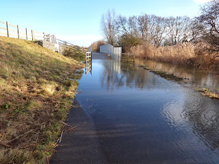

I'll keep checking the water levels over the next few days and post details on the blog.
Boxing Day update - the big dip between St Ives Park & Ride and the Ouse Viaduct is now under water, and the flooded section beyond the viaduct has extended both directions from the concrete bridge. So probably 400 metres of the cycle track under water.


Update - 7 January.
This photo shows the flooded cycle track between Fen Drayton and Swavesey.
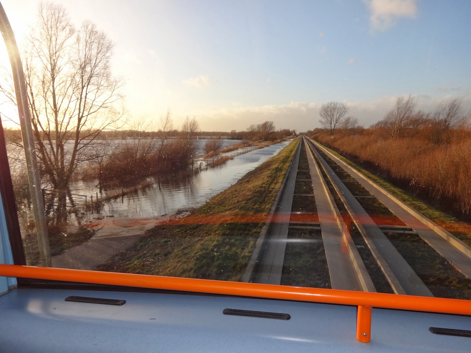
Update 9 January.
I walked along Low Road towards Fenstanton this afternoon and here is the state of the road at Crystal Lakes. Although the road is 'closed' several cars drove through the flood apparently without difficulty and a cyclist made it through.

It's not such merry news for those of us who cycle the busway. I walked along the busway between the gravadlax and the turkey early this afternoon, and the Great Ouse River is in flood. Water is now covering the busway cycle track at the concrete bridge a short distance east of the Ouse Viaduct. I was a bit surprised to see that the water is flowing through that concrete bridge from north-east to south-west ( that's left to right on the first photo, and right to left on the second).

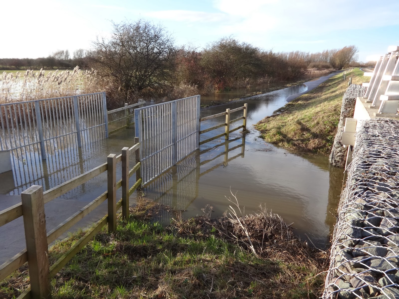
I'll keep checking the water levels over the next few days and post details on the blog.
Boxing Day update - the big dip between St Ives Park & Ride and the Ouse Viaduct is now under water, and the flooded section beyond the viaduct has extended both directions from the concrete bridge. So probably 400 metres of the cycle track under water.


Update - 7 January.
This photo shows the flooded cycle track between Fen Drayton and Swavesey.
Update 9 January.
I walked along Low Road towards Fenstanton this afternoon and here is the state of the road at Crystal Lakes. Although the road is 'closed' several cars drove through the flood apparently without difficulty and a cyclist made it through.
Friday, 8 November 2013
Busway neglect - latest photos of debris
This week I've been in contact with my two local County Councillors about the dire state of the cycle track, especially between St Ives and Fen Drayton.
There is a lot of tree debris lying on the track, made worse by the recent gales. In the last few days, a Council maintenance team has been working on the track. They've strimmed the verges for about 300 metres either side of the Ouse Viaduct, and have left the track covered in even more debris, including chopped up bits of bramble (puncture hazard!). The solar lights are still covered by vegetation encroaching from the verges, and now also with strimmed debris.
Here are a couple of photos showing the state of the track BEFORE the Council team has worked on it.


And here are some taken AFTER the team has done its not very good work.


Photo below was taken on 18 November, after the maintenance team had cleared away vegetation around the lights. Note that they haven't cut the entire verge back, just a small patch at each light. Most likely the leaves and debris will soon encroach on the lights again.

Friday, 23 November 2012
Busway cycle track flooded
Today (23 November) the cycle track is flooded for about 200 metres east of the Ouse Viaduct.
The heavy rainfall of the last few days in the Great Ouse's Northamptonshire and Buckinghamshire headwaters is likely to reach St Ives over the weekend, so I'd expect the water level to rise even further.
The busway cycle track seems to me to be susceptible not so much to the amount of local rainfall, but to water coming down the river from its huge catchment area after periods of heavy rain. I think the river authority tries to control the flow of water by using the section between St Ives Lock and Brownshill Lock (Earith) to hold water back, probably in order to minimise closure of the main road at Earith Bridge. I think we need to campaign for having the cyle track through the floodplain raised by another meter or more.
Subscribe to:
Posts (Atom)